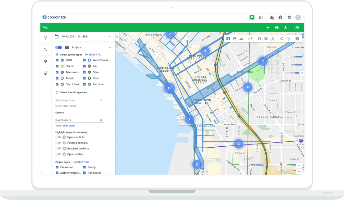
Visualising projects, special events, permits and city GIS layers is what Coordinate and the underlying workflows are built around. By leveraging a Google based map for usability and ease of use, our clients have the ability to interact with their geospatial data in an extremely straight-forward and robust way. Whether it’s leveraging Google’s satellite imagery, street view or our custom snapping to road network functionality, users of all skill levels will be able to complete their jobs within Coordinate. Heavy GIS users are also supported through direct integration into ArcGIS databases and familiar drawing tools embedded in Google Maps. Coordinate delivers a mapping experience that is for everyone.